Randonnée Marche La Motte-Servolex - F73470_Novalaise_le_Signal_ST_CG - Photo

F73470_Novalaise_le_Signal_ST_CG

 ageo
ageo

Utilisateur

© OpenStreetMap contributors
Longueur
Longueur
8,6 km
Altitude max
Altitude max
1467 m
Dénivelé positif
Dénivelé positif
400 m
Km-Effort
Km-Effort  
13,9 km
Altitude min
Altitude min
1091 m
Dénivelé négatif
Dénivelé négatif
395 m
Boucle
Boucle
Oui
Date de création :
2017-06-25 00:00:00.0
Dernière modification :
2017-06-25 00:00:00.0

(0 Avis)

Marche
Marche
3h02
Difficulté : Facile

Scannez ce code QR pour ouvrir la randonnée dans l'application SityTrail

Application GPS de randonnée GRATUITE

Logo SityTrail SityTrail

IGN / Instituts géographiques

Télécharger SityTrail sur l'App Store Télécharger SityTrail sur Google Play

Logo SityTrail SityTrail World

Le monde est à vous

Télécharger SityTrail sur l'App Store Télécharger SityTrail sur Google Play Télécharger SityTrail sur Huawei AppGallery

À propos

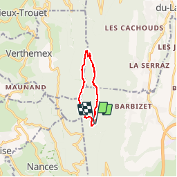
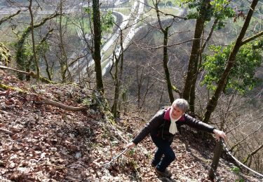
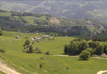
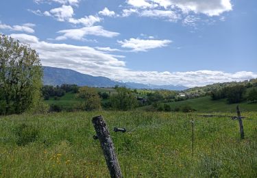
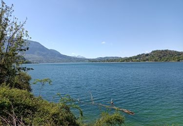
Randonnée Marche de 8,6 km à découvrir à Auvergne-Rhône-Alpes, Savoie, La Motte-Servolex. Cette randonnée est proposée par ageo.

Profil altimétrique

Photos

Points d'intérêt

Point d'intérêt La Motte-Servolex - Point 6 - Photo
ageo
LA MOTTE-SERVOLEX 
Point d'intérêt Le Bourget-du-Lac - Point 10 - Photo
ageo
LE BOURGET-DU-LAC 
Point d'intérêt La Motte-Servolex - Wordpress - Photo
ageo
LA MOTTE-SERVOLEX 

Localisation

Pays :
France
Région :
Auvergne-Rhône-Alpes
Département/Province :
Savoie
Commune :
La Motte-Servolex
Localité :
Unknown
Départ:(Dec)
Départ:(UTM)
720126 ; 5053964 (31T) N.

Randonnées à proximité

Randonnée V.T.T. Le Bourget-du-Lac - Chartreuse - Col du Crucifix - Photo
V.T.T.
tracegps

V.T.T.

Difficile
(2)
Le Bourget-du-Lac, Auvergne-Rhône-Alpes, Savoie, France
27 km | 40 km-effort
4h 0min
Oui
Randonnée Trail La Motte-Servolex - Château Richard et croix du Signal  - Photo
Trail
nadd73

Trail

Moyen
La Motte-Servolex, Auvergne-Rhône-Alpes, Savoie, France
11,1 km | 20 km-effort
2h 1min
Oui
Randonnée Marche Saint-Sulpice - Col du Crucifix par St Sulpice - Photo
Marche
brigittesontag

Marche

Moyen
Saint-Sulpice, Auvergne-Rhône-Alpes, Savoie, France
5,5 km | 10,5 km-effort
2h 40min
Oui
Randonnée Marche Nances - MONTAGNE DE L'EPINE: COTES DE NANCES - Photo
Marche
djeepee74

Marche

Difficile
Nances, Auvergne-Rhône-Alpes, Savoie, France
12,7 km | 21 km-effort
4h 30min
Oui
Randonnée V.T.T. La Motte-Servolex - Col du Crucifix via Bourdeau - Photo
V.T.T.
jimmyfend

V.T.T.

Difficile
(1)
La Motte-Servolex, Auvergne-Rhône-Alpes, Savoie, France
43 km | 61 km-effort
4h 0min
Oui
Randonnée V.T.T. La Motte-Servolex - Tour de l'OUTHERAN - Photo
V.T.T.
baudrine

V.T.T.

Difficile
La Motte-Servolex, Auvergne-Rhône-Alpes, Savoie, France
55 km | 81 km-effort
6h 18min
Oui
Randonnée Marche Saint-Sulpice - Randoguide - Photo
Marche
Heaven666

Marche

Facile
(1)
Saint-Sulpice, Auvergne-Rhône-Alpes, Savoie, France
7,3 km | 12,4 km-effort
2h 41min
Oui
Randonnée Marche Novalaise - NOVALAISE circuit des pommiers - Photo
Marche
chuck

Marche

Facile
Novalaise, Auvergne-Rhône-Alpes, Savoie, France
11,1 km | 15,7 km-effort
3h 41min
Oui
Randonnée Marche Nances - Lac d'Aiguebelette  - Photo
Marche
chuck

Marche

Facile
Nances, Auvergne-Rhône-Alpes, Savoie, France
6,4 km | 7,9 km-effort
1h 39min
Oui


Fermer
Mes abonnements